
3-GIS Network Solutions
3-GIS provides web-based software that takes the complexity out of fiber network planning, design, construction, and management.
What is 3-GIS Network Solutions?
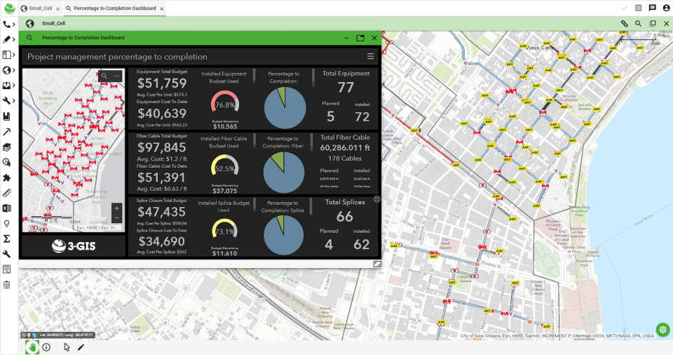
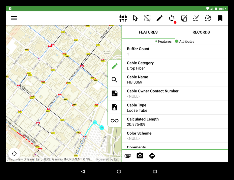
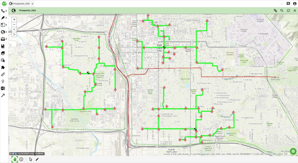
Since 2006, 3-GIS has been providing geospatial asset management solutions for fiber network planning, design, construction, and management. Our network solutions produce strand-level, real-time data that is used to inform business decisions across entire organizations, enable prescriptive design automation for expedited service activation and revenue realization, and facilitate collaboration with browser and mobile access in one seamless system.
Screenshots
Video
Categories
Features
Color Codes/Icons
Data Import/Export
Geocoding
Labeling
Map Sharing
FAQ
The official website of 3-GIS Network Solutions is http://www.3-gis.com/
3-GIS Network Solutions belongs to the GIS category.
3-GIS Network Solutions offers features such as Color Codes/Icons, Data Import/Export, Geocoding, Labeling, Map Sharing.
No, 3-GIS Network Solutions does not offer a free trial.
Need help choosing this software?
Have questions about features, pricing, integrations, or implementation? Send an enquiry to the vendor and get the information you need.