
ArcGIS GeoBIM
Put your BIM models, project documentation & assets on a map to better coordinate AEC teams, improve decision making & minimize waste.
What is ArcGIS GeoBIM?
Screenshots
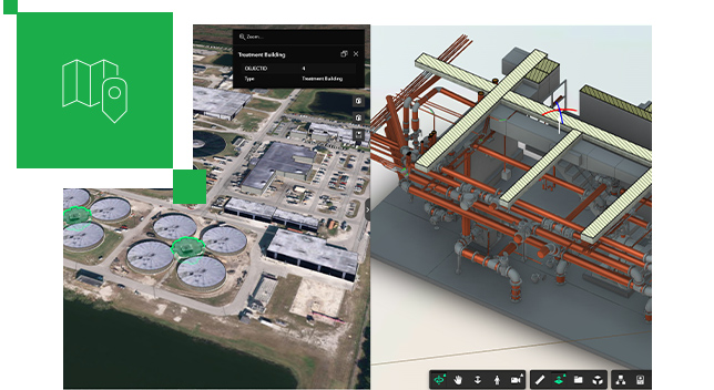
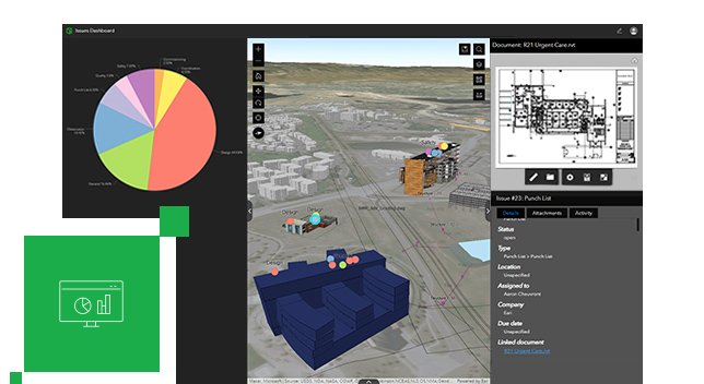
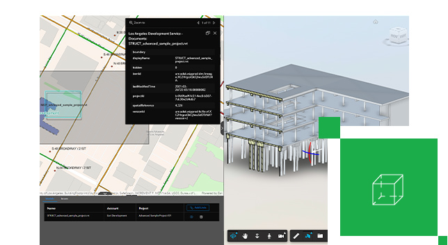
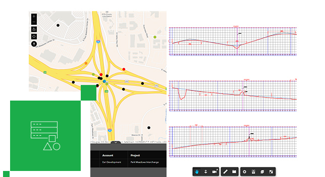
Video
Features
FAQ
The official website of ArcGIS GeoBIM is http://www.esri.com/
ArcGIS GeoBIM belongs to the BIM, Collaboration, GIS category.
ArcGIS GeoBIM offers features such as 2D Drawing, 3D Imaging, Collaboration Tools, Data Import/Export, Document Management, Project Management, Project Tracking, Workflow Management, Access Controls/Permissions, Secure Data Storage, Task Management, Color Codes/Icons, Data Mapping, Geocoding, Geographic Maps, Map Sharing.
No, ArcGIS GeoBIM does not offer a free trial.
Need help choosing this software?
Have questions about features, pricing, integrations, or implementation? Send an enquiry to the vendor and get the information you need.
Pricing
Starting at:
$200/per month
Free Trial Available