BatchGeo
BatchGeo's ease of use, intuitive interface, and powerful mapping capabilities make it a great tool for anyone,
What is BatchGeo?
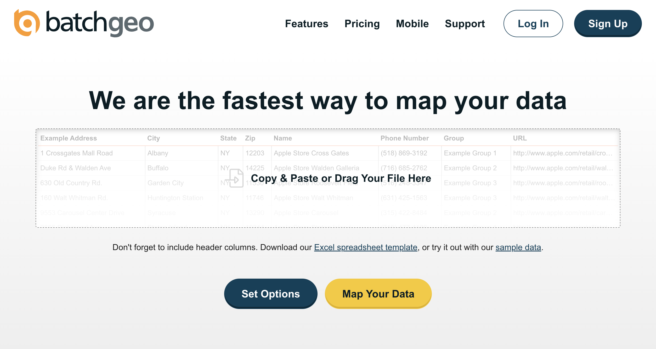
BatchGeo is a web-based tool that helps you quickly and easily create custom maps from your data. Simply copy and paste your spreadsheet or CSV file into BatchGeo, and it will automatically plot your data points onto a map. You can then customize your map with different colors, labels, and markers to create a visual representation of your data that is easy to understand and share with others. BatchGeo is perfect for to quickly and easily visualize their data on a map.
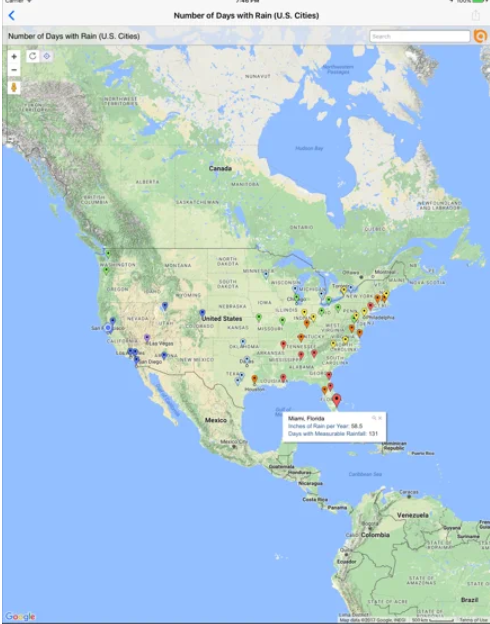
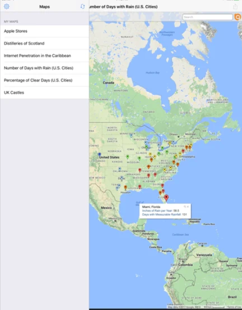
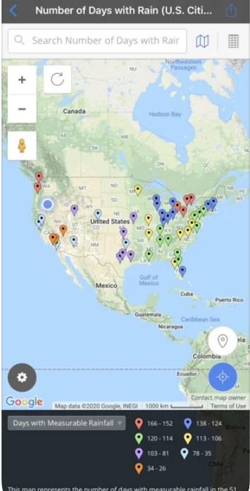
Screenshots
Video
Categories
Features
Color Codes/Icons
Data Import/Export
Data Mapping
Geocoding
Geographic Maps
Labeling
Map Sharing
Route Optimization
FAQ
The official website of BatchGeo is https://batchgeo.com/
BatchGeo belongs to the GIS category.
BatchGeo offers features such as Color Codes/Icons, Data Import/Export, Data Mapping, Geocoding, Geographic Maps, Labeling, Map Sharing, Route Optimization.
No, BatchGeo does not offer a free trial.
Pricing
Starting at:
$99
Free Trial Available