DroneDeploy
DroneDeploy is a software platform that manages drone data and site assets.
What is DroneDeploy?
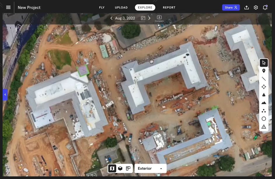
DroneDeploy is reality capture software that allows businesses to capture, process, analyze, and share data about sites and assets. The software connects aerial drone data with ground robot and 360 camera information for unified site visibility. Features include automated data capture, AI analysis for insights, and virtual walkthroughs to share site views remotely. DroneDeploy helps construction, energy, agriculture, and other industries operate efficiently and safely.
Screenshots
Video
Categories
Features
3D Imaging
Color Codes/Icons
Data Import/Export
Geocoding
Labeling
Map Sharing
FAQ
The official website of DroneDeploy is https://www.dronedeploy.com/
DroneDeploy belongs to the GIS category.
DroneDeploy offers features such as 3D Imaging, Color Codes/Icons, Data Import/Export, Geocoding, Labeling, Map Sharing.
No, DroneDeploy does not offer a free trial.
Pricing
Starting at:
$329/per year
Free Trial Available