explorer.land
Web mapping and presentation platform for sustainable forest landscape projects for transparent project communication and storytelling.
What is explorer.land?
explorer.land is a map-based online platform. It is designed for presenting forest landscape projects, communicating their activities, and connecting them to like-minded organizations and stakeholders from around the world. Unlike other social media and similar platforms where content is mainly presented through a timeline explorer.land displays all published content (e.g. posts, photos, videos) in its geographical context, on top of interactive, high-resolution maps.
Screenshots
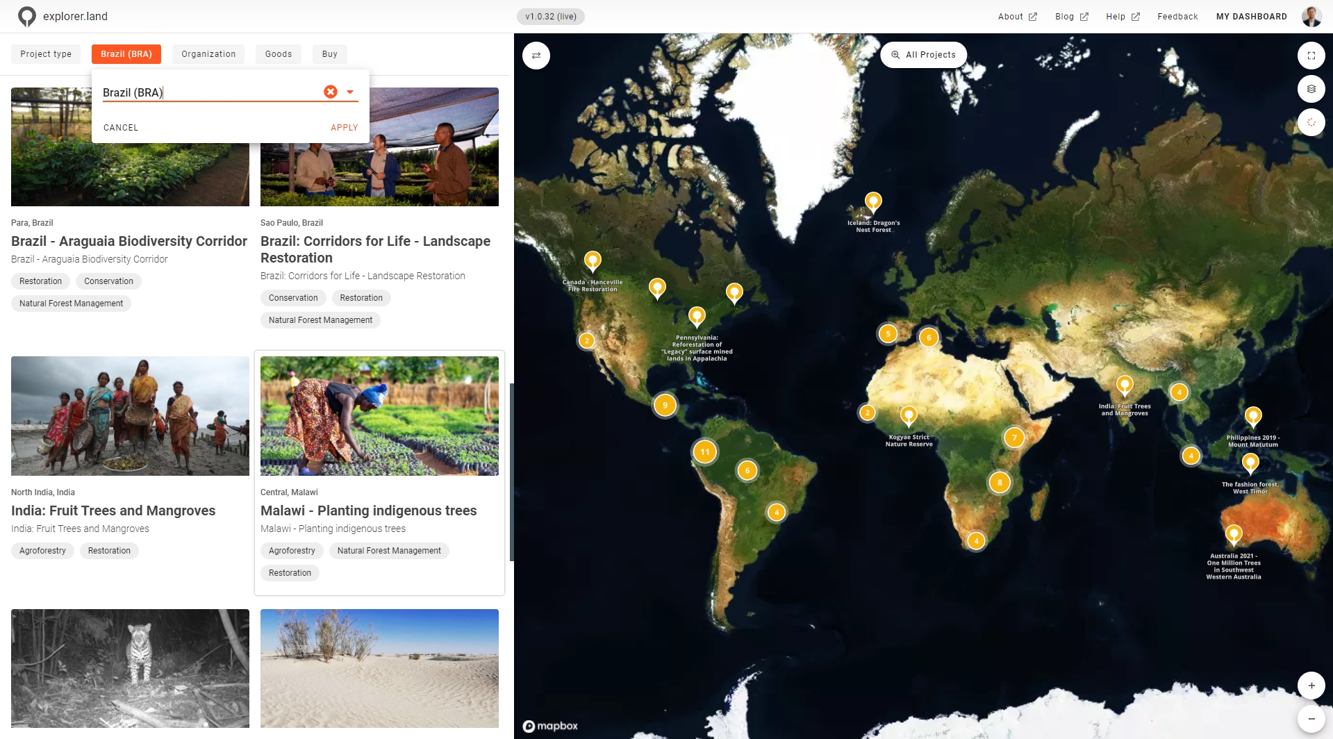
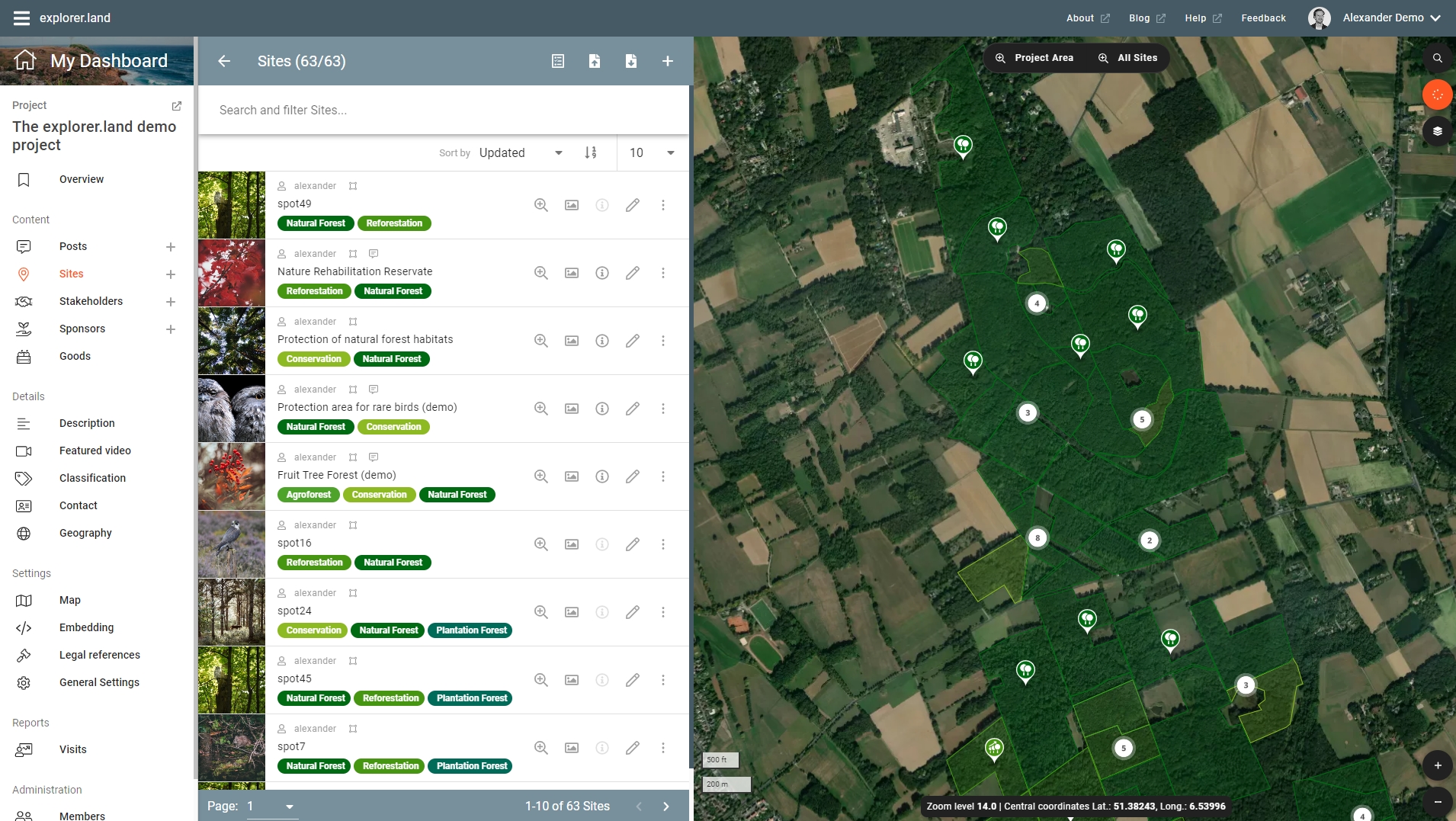
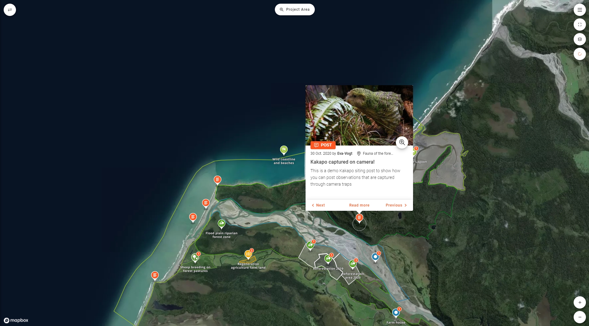
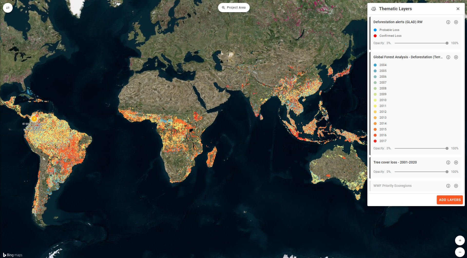
Video
Categories
Features
Data Import/Export
Geographic Maps
Labeling
Map Sharing
FAQ
The official website of explorer.land is https://openforests.com/
explorer.land belongs to the GIS category.
explorer.land offers features such as Data Import/Export, Geographic Maps, Labeling, Map Sharing.
No, explorer.land does not offer a free trial.
Need help choosing this software?
Have questions about features, pricing, integrations, or implementation? Send an enquiry to the vendor and get the information you need.