
FalconView
FalconView is mapping and mission planning software created by Georgia Tech for the US Department of Defense.
What is FalconView?
FalconView is a multi-platform mapping and mission planning software application developed by the Georgia Tech Research Institute for the United States Department of Defense. FalconView displays a variety of maps and overlays, including aeronautical charts, satellite imagery, and elevation maps, oriented toward mission planning and primarily used by military personnel.
Screenshots
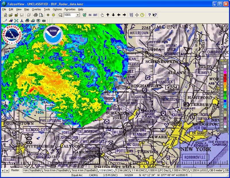
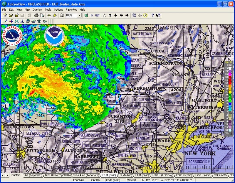
Categories
Features
Data Mapping
Geographic Maps
FAQ
The official website of FalconView is https://gtri.gatech.edu/
FalconView belongs to the GIS category.
FalconView offers features such as Data Mapping, Geographic Maps.
No, FalconView does not offer a free trial.
Need help choosing this software?
Have questions about features, pricing, integrations, or implementation? Send an enquiry to the vendor and get the information you need.