FlyPix AI
No-code SaaS GIS AI platform for extraction information from drone, aerial and satellite imagery. GeoAI that understands the Earth.
What is FlyPix AI?
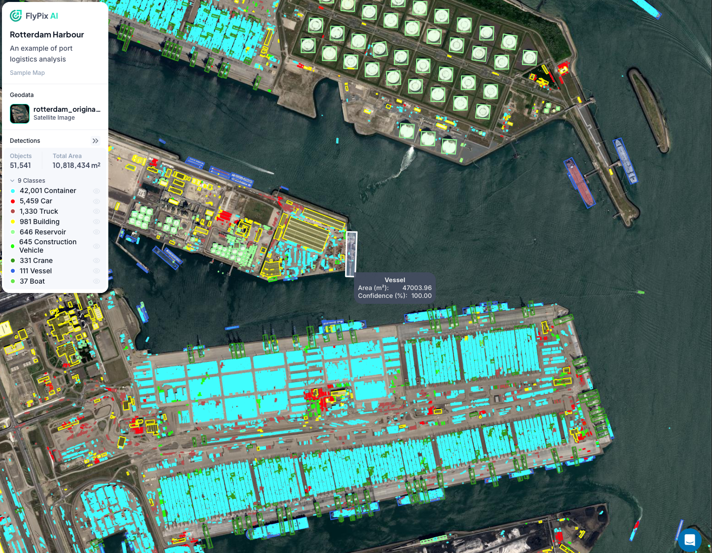
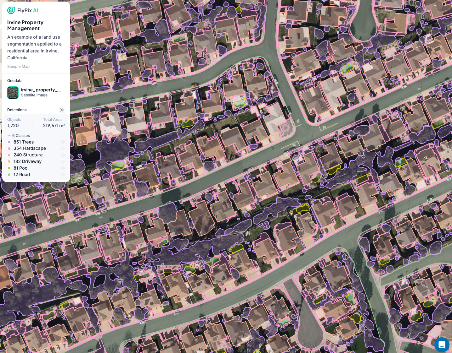
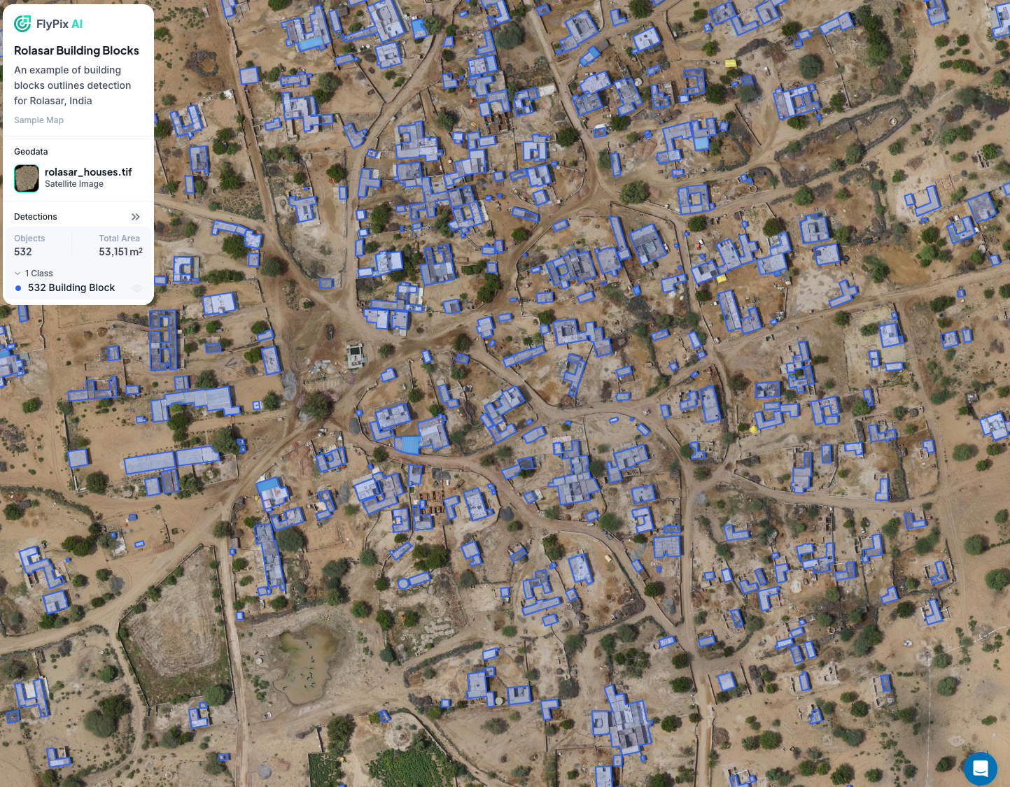
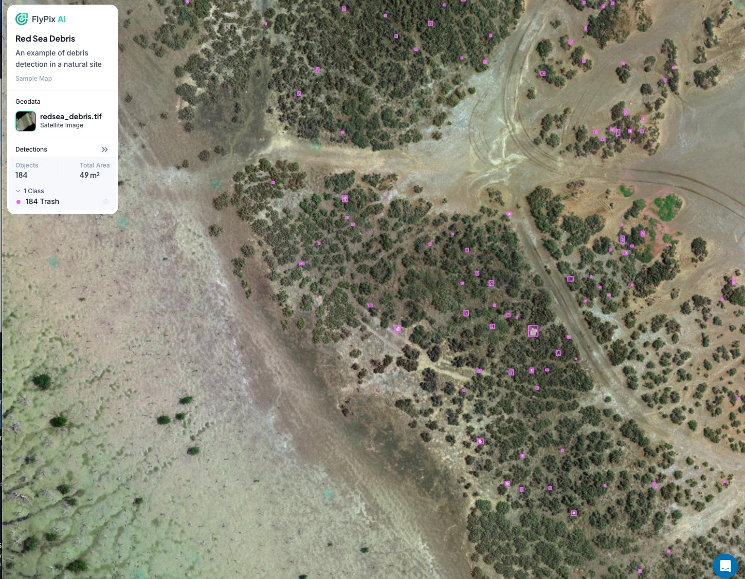
FlyPix AI is an advanced object detection platform designed for analyzing satellite and drone imagery . It offers users the ability to detect, segment and localize objects and areas within these images as well as track changes and identify anomalies. It's user-friendly interface and no-code approach empowers users with no technical backgrounds to create customized use cases and obtain valuable insights from their data
Screenshots
Video
Categories
Features
Data Import/Export
Data Mapping
Geocoding
Geographic Maps
Labeling
Map Sharing
FAQ
The official website of FlyPix AI is http://www.flypix.ai/
FlyPix AI is an advanced object detection platform designed for analyzing satellite and drone imagery . It offers users the ability to detect, segment and localize objects and areas within these images as well as track changes and identify anomalies. It's user-friendly interface and no-code approach empowers users with no technical backgrounds to create customized use cases and obtain valuable insights from their data
FlyPix AI belongs to the GIS category.
FlyPix AI offers features such as Data Import/Export, Data Mapping, Geocoding, Geographic Maps, Labeling, Map Sharing.
No, FlyPix AI does not offer a free trial.
Pricing
Starting at:
€50/per month
Free Trial Available