
Foursquare Spatial H3 Hub
FSQ Spatial H3 Hub is a geospatial data platform that transforms complex spatial data into H3-indexed features for data scientists.
What is Foursquare Spatial H3 Hub?
FSQ Spatial H3 Hub is a geospatial data processing software that transforms complex location-based information into analysis-ready H3-indexed features. The platform converts both raster and vector geospatial data into standardized features at H3 resolution 8 through its proprietary indexing engine, eliminating the need for specialized GIS expertise. FSQ Spatial H3 Hub integrates with existing data stacks via an Iceberg catalog, allowing data scientists to access and join spatial features using simple SQL queries. The software provides access to multiple pre-indexed geospatial datasets including global points of interest, census data, infrastructure, and environmental features. The platform works with common tools like Spark, DuckDB, and Python, making previously inaccessible geospatial information immediately usable for data science projects without requiring specialized processing knowledge.
Screenshots
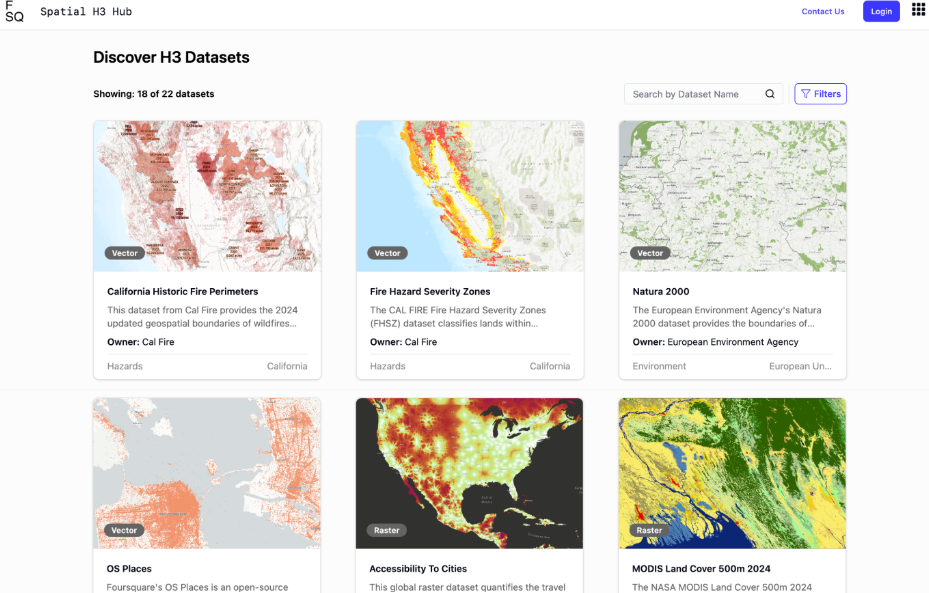
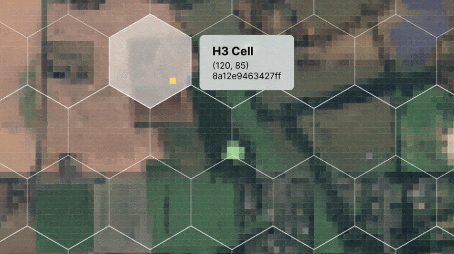
Categories
Features
Data Discovery
Data Governance
Metadata Management
Search/Filter
FAQ
Foursquare Spatial H3 Hub belongs to the Data Catalog category.
Foursquare Spatial H3 Hub offers features such as Data Discovery, Data Governance, Metadata Management, Search/Filter.
No, Foursquare Spatial H3 Hub does not offer a free trial.
Need help choosing this software?
Have questions about features, pricing, integrations, or implementation? Send an enquiry to the vendor and get the information you need.