
GeoMedia
Professional GIS environment. It stands out by being dynamic in its calculations and works with native data connections.
What is GeoMedia?
Professional GIS environment. It stands out by being dynamic in its calculations and works with native data connections.
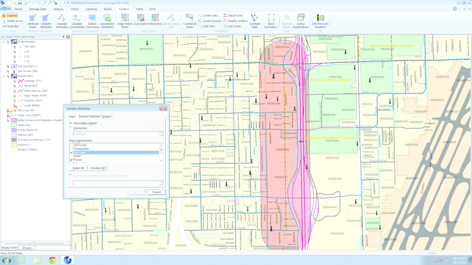
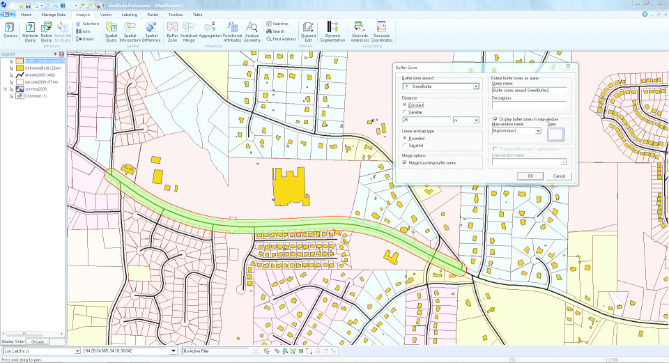
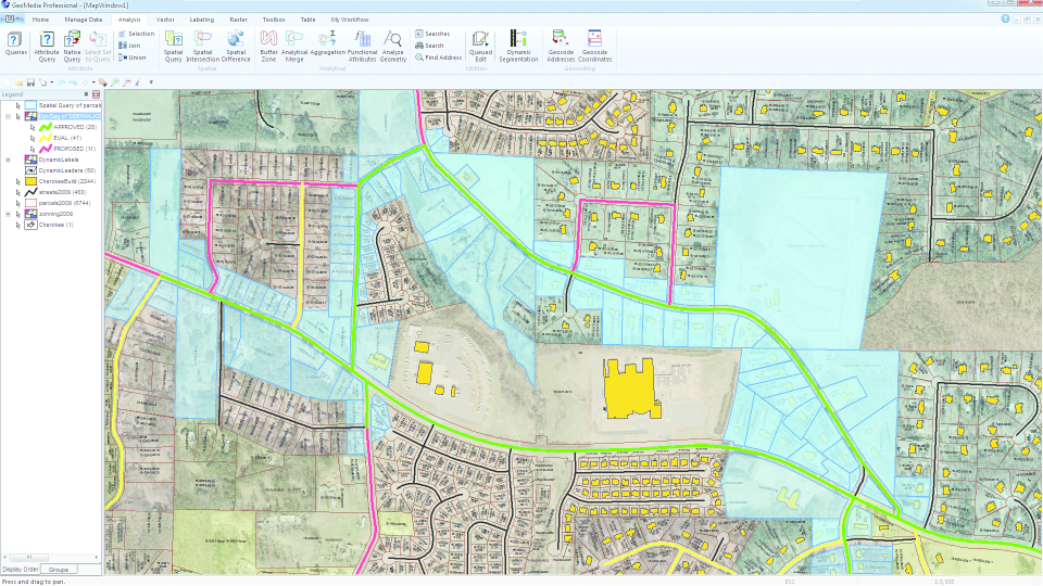
Screenshots
Categories
Features
3D Imaging
Color Codes/Icons
Data Import/Export
Geocoding
Labeling
Map Sharing
FAQ
The official website of GeoMedia is https://geomedia.com/
GeoMedia belongs to the GIS category.
GeoMedia offers features such as 3D Imaging, Color Codes/Icons, Data Import/Export, Geocoding, Labeling, Map Sharing.
No, GeoMedia does not offer a free trial.
Need help choosing this software?
Have questions about features, pricing, integrations, or implementation? Send an enquiry to the vendor and get the information you need.
Pricing
Starting at:
€900/per year
Free Trial Available