
GeoSTORM
GeoSTORM is a Civil 3D integrated stormwater modeling software that streamlines urban and rural stormwater analysis.
What is GeoSTORM?
GeoSTORM is a Civil 3D integrated stormwater software that accelerates the process of creating, analyzing, and reviewing stormwater models, supporting numerous stormwater hydrology methods. GeoSTORM utilizes Rational Method and Modified Rational Method, SCS TR-20/TR-55, EPA SWMM, CUHP (Colorado Urban Hydrology Procedure), SBUH, (Santa Barbara Urban Hydrograph), and more. The software is designed to manage stormwater models with varying complexity.
Screenshots
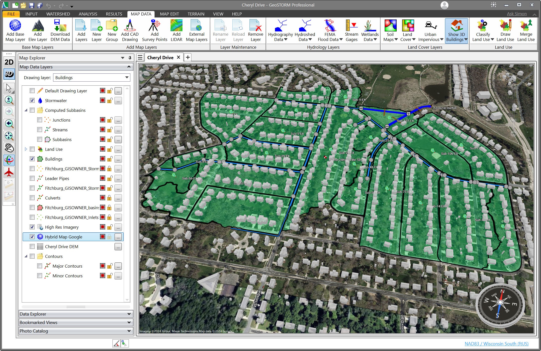
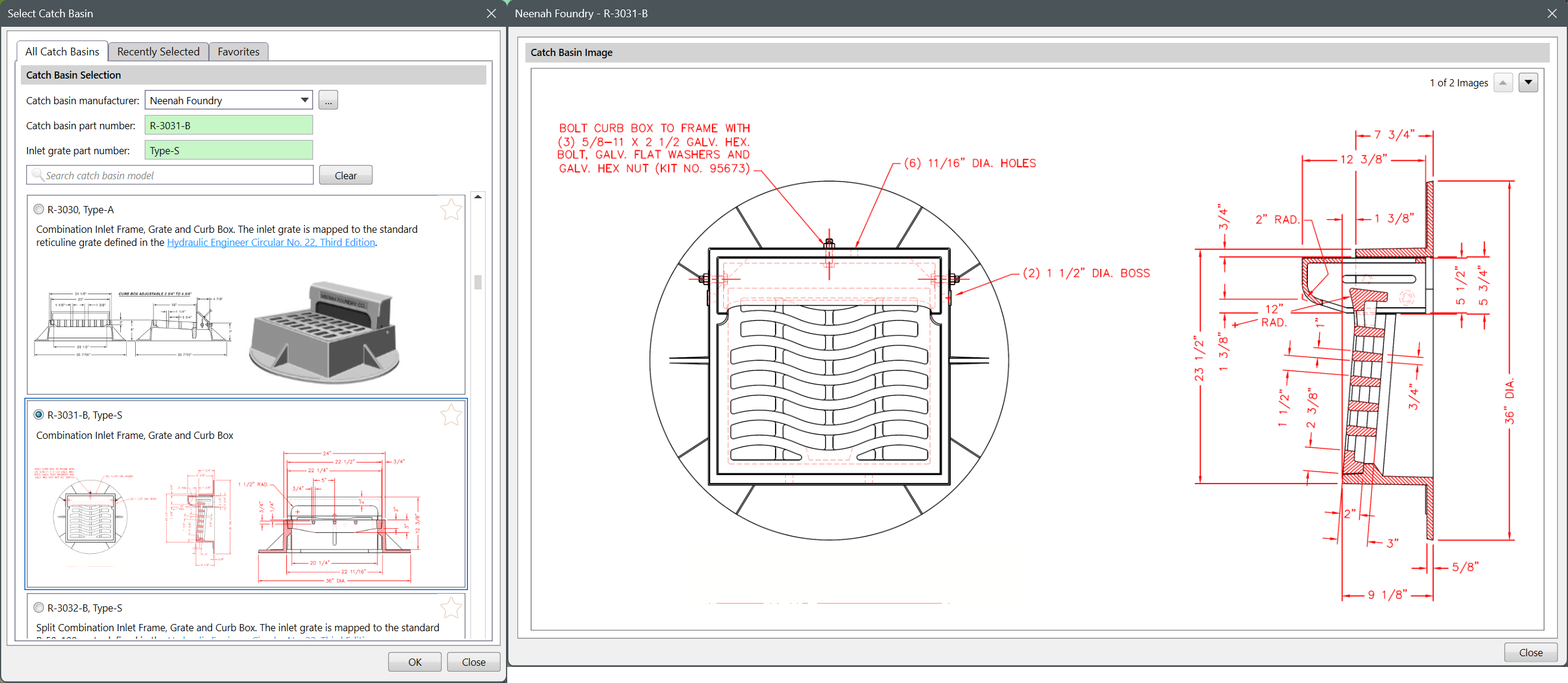
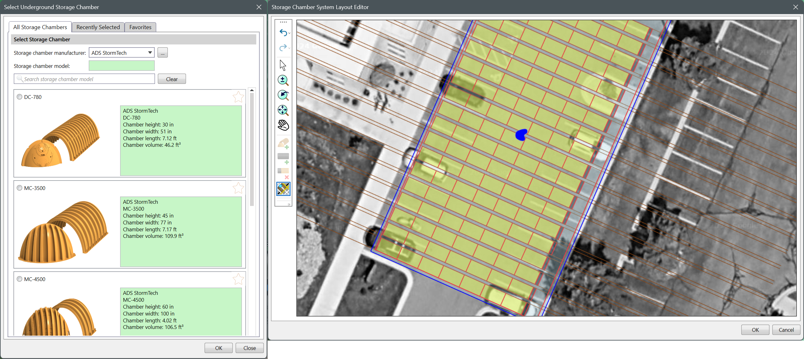
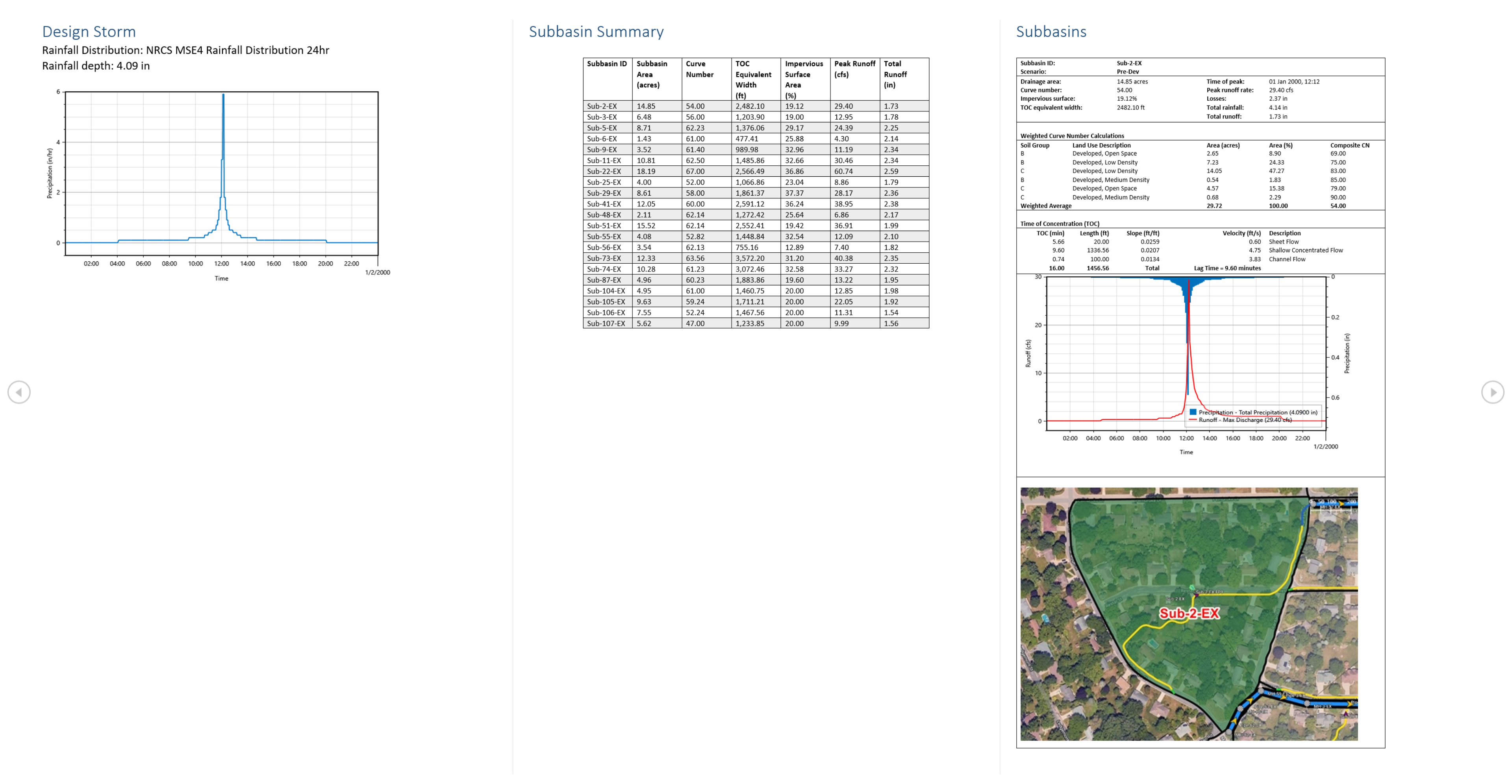
Video
Categories
Features
2D Drawing
CAD Tools
Data Import/Export
Data Visualization
Design Analysis
Design Management
FAQ
GeoSTORM belongs to the Engineering CAD category.
GeoSTORM offers features such as 2D Drawing, CAD Tools, Data Import/Export, Data Visualization, Design Analysis, Design Management.
No, GeoSTORM does not offer a free trial.
Need help choosing this software?
Have questions about features, pricing, integrations, or implementation? Send an enquiry to the vendor and get the information you need.