Global Mapper
Everything you need in a GIS software from terrain analysis, to photogrammetric processing, and automatic lidar classification.
What is Global Mapper?
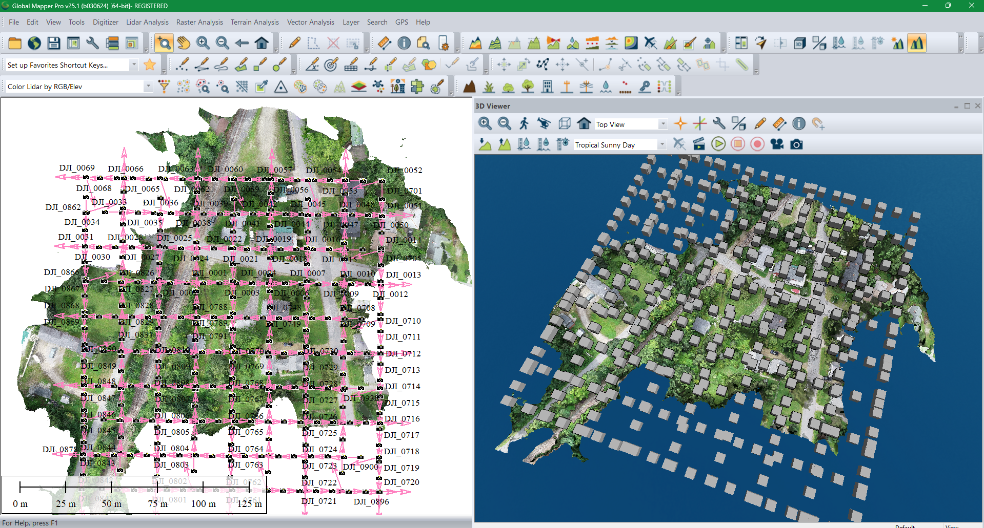
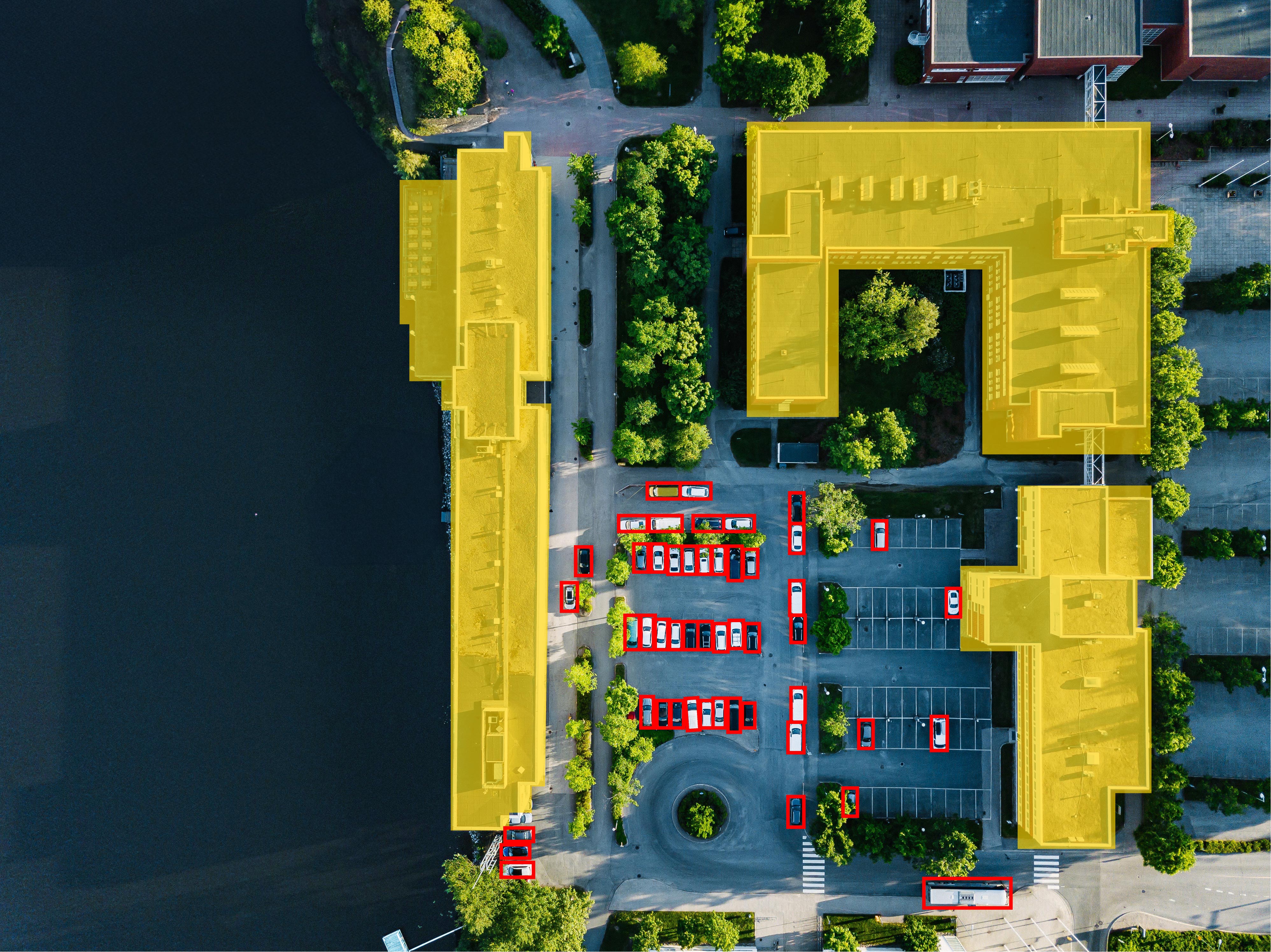
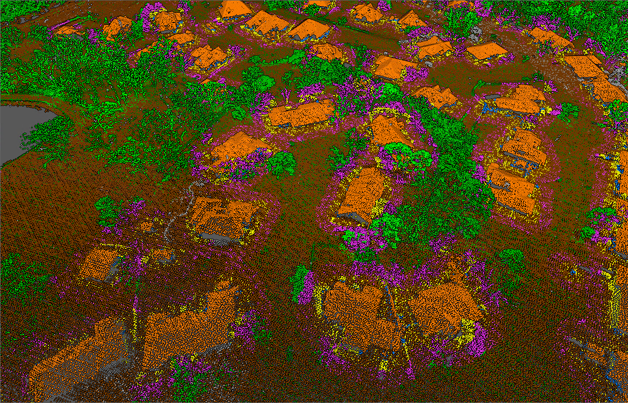
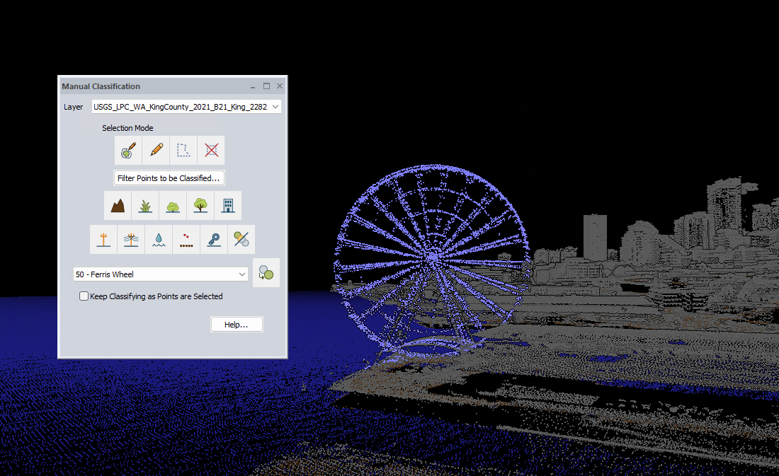
An all-in-one GIS solution that streamlines any geospatial workflow. With tools ranging from terrain creation, contour generation, and raster calculation to photogrammetric workflows, and automatic lidar classification users can complete their project in one tool. Global Mapper supports over 350 different file formats, make it easy to visualize and edit any data. Machine Learning has been integrated with object detection and land classification models.
Screenshots
Video
Categories
Features
3D Imaging
Color Codes/Icons
Data Import/Export
Data Mapping
Geographic Maps
Labeling
Route Optimization
FAQ
The official website of Global Mapper is https://www.bluemarblegeo.com/global-mapper/
An all-in-one GIS solution that streamlines any geospatial workflow. With tools ranging from terrain creation, contour generation, and raster calculation to photogrammetric workflows, and automatic lidar classification users can complete their project in one tool. Global Mapper supports over 350 different file formats, make it easy to visualize and edit any data. Machine Learning has been integrated with object detection and land classification models.
Global Mapper belongs to the GIS category.
Global Mapper offers features such as 3D Imaging, Color Codes/Icons, Data Import/Export, Data Mapping, Geographic Maps, Labeling, Route Optimization.
No, Global Mapper does not offer a free trial.
Pricing
Starting at:
$700/one time
Free Trial Available