
IGiS Desktop
IGiS Desktop is a GIS Software integrated with Image Processing, Photogrammetry, and CAD modules for Windows.
What is IGiS Desktop?
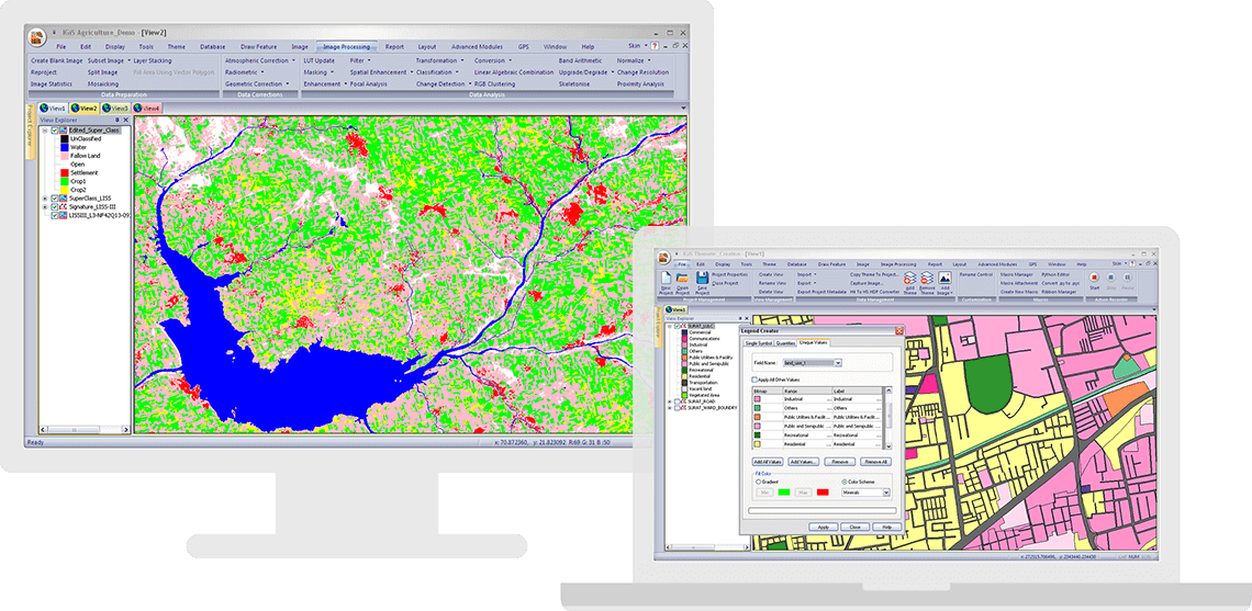
IGiS Desktop has advanced tools for Geographic information system (GIS) data conversion, GIS analysis, and visualization. It's a GIS technology integrated with the Image Processing, Photogrammetry and Computer-Aided Design (CAD) module which builds extensive GIS mapping software. IGiS Desktop makes collaboration easy with Open Geospatial Consortium (OGC) supported platforms.
Screenshots
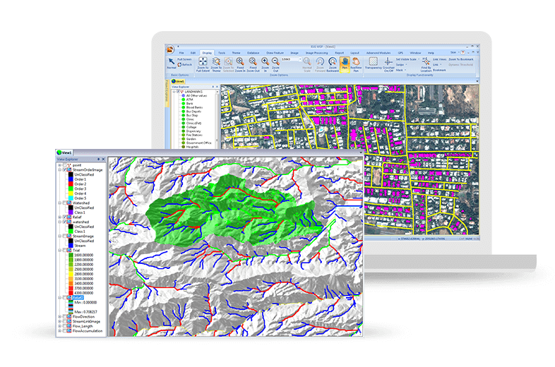
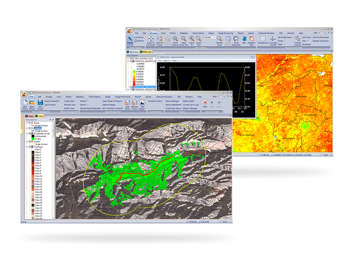
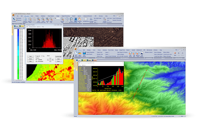
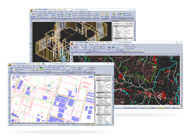
Categories
Features
3D Imaging
Color Codes/Icons
Data Import/Export
Data Mapping
Geocoding
Geographic Maps
Labeling
Map Sharing
Route Optimization
FAQ
The official website of IGiS Desktop is https://www.sgligis.com/
IGiS Desktop belongs to the GIS category.
IGiS Desktop offers features such as 3D Imaging, Color Codes/Icons, Data Import/Export, Data Mapping, Geocoding, Geographic Maps, Labeling, Map Sharing, Route Optimization.
No, IGiS Desktop does not offer a free trial.
Need help choosing this software?
Have questions about features, pricing, integrations, or implementation? Send an enquiry to the vendor and get the information you need.