
IGiS Photogrammetry Suite
IGiS Photogrammetry Suite offers a one click photogrammetry solution for converting your digital images into 3D model.
What is IGiS Photogrammetry Suite?
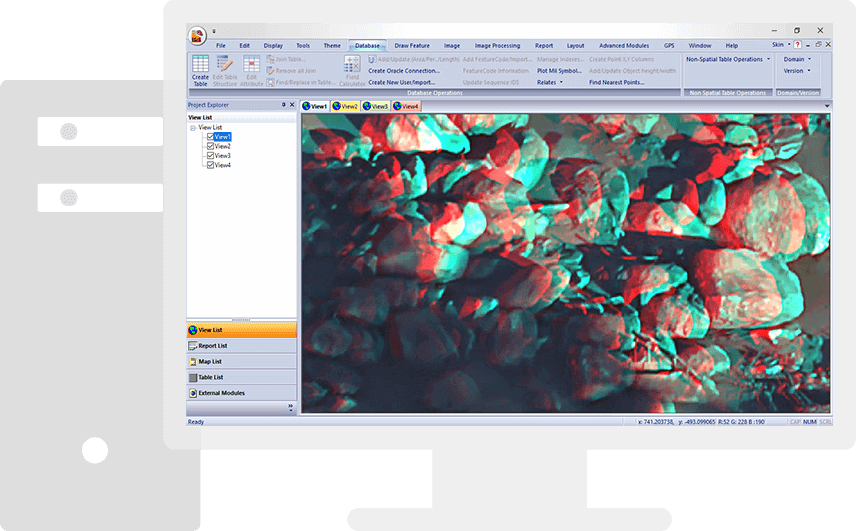
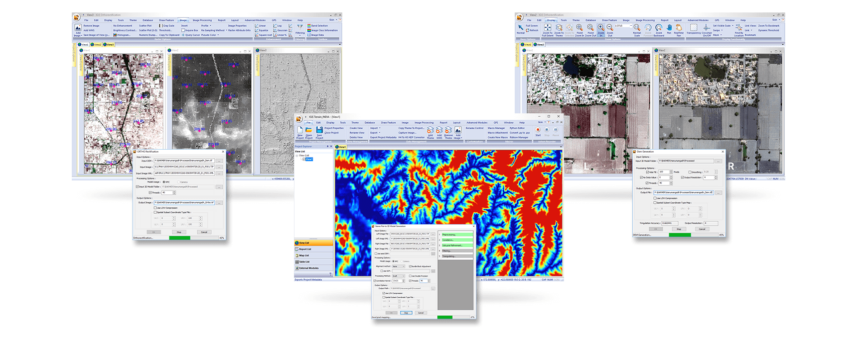
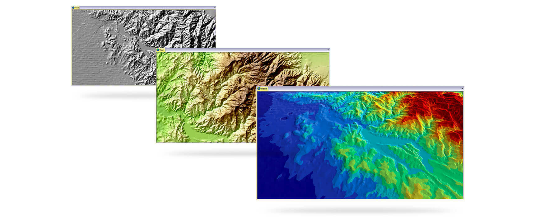
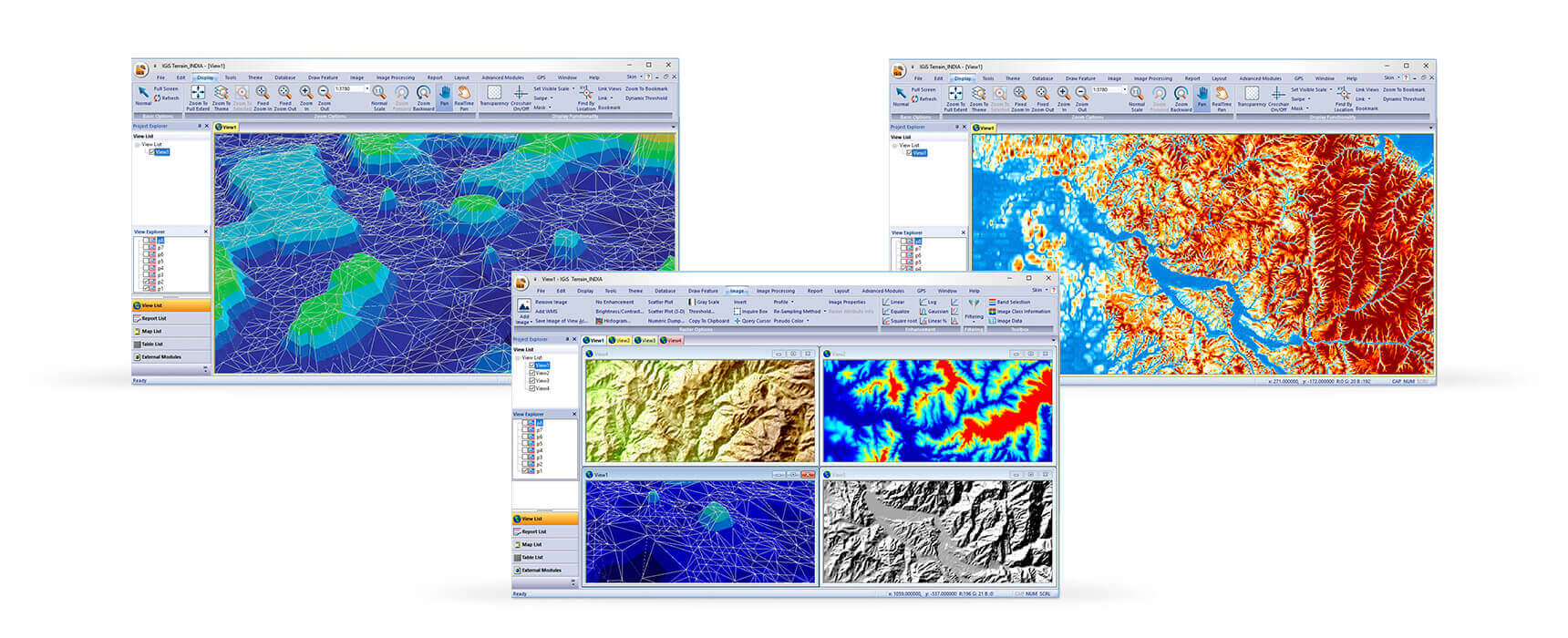
IGiS Photogrammetry Suite powered by Scanpoint Geomatics Limited offers one click photogrammetry solutions by providing fully automated geodesy and workflow to achieve highly precise accuracy including DEM Photogrammetry Modeling, Editing and Analysis. It is easily achieved with its high-speed GPU and core based processing.
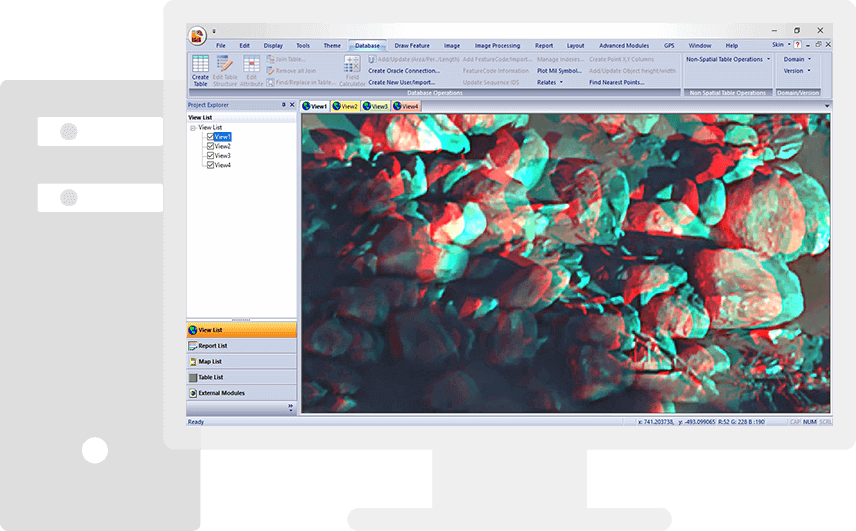
Screenshots
Categories
Features
3D Imaging
Color Codes/Icons
Data Import/Export
Data Mapping
Geocoding
Geographic Maps
Labeling
Map Sharing
FAQ
The official website of IGiS Photogrammetry Suite is https://www.sgligis.com/
IGiS Photogrammetry Suite belongs to the GIS category.
IGiS Photogrammetry Suite offers features such as 3D Imaging, Color Codes/Icons, Data Import/Export, Data Mapping, Geocoding, Geographic Maps, Labeling, Map Sharing.
No, IGiS Photogrammetry Suite does not offer a free trial.
Need help choosing this software?
Have questions about features, pricing, integrations, or implementation? Send an enquiry to the vendor and get the information you need.