
LiveEO
LiveEO's vegetation management enables detailed monitoring of large infrastructure networks from space.
What is LiveEO?
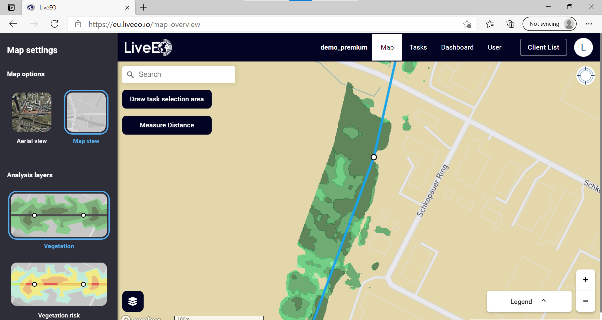
LiveEO's satellite-based vegetation management solution enables automated monitoring of large infrastructure networks combined with easy and hands-on planning, execution, and documentation. By means of automated analyses of satellite imagery, our software identifies vegetation close to the customer's grid and provides insights about the vegetation status. It then transforms the output into actionable insights for utilities. These are made available through LiveEO s web and mobile app.
Screenshots
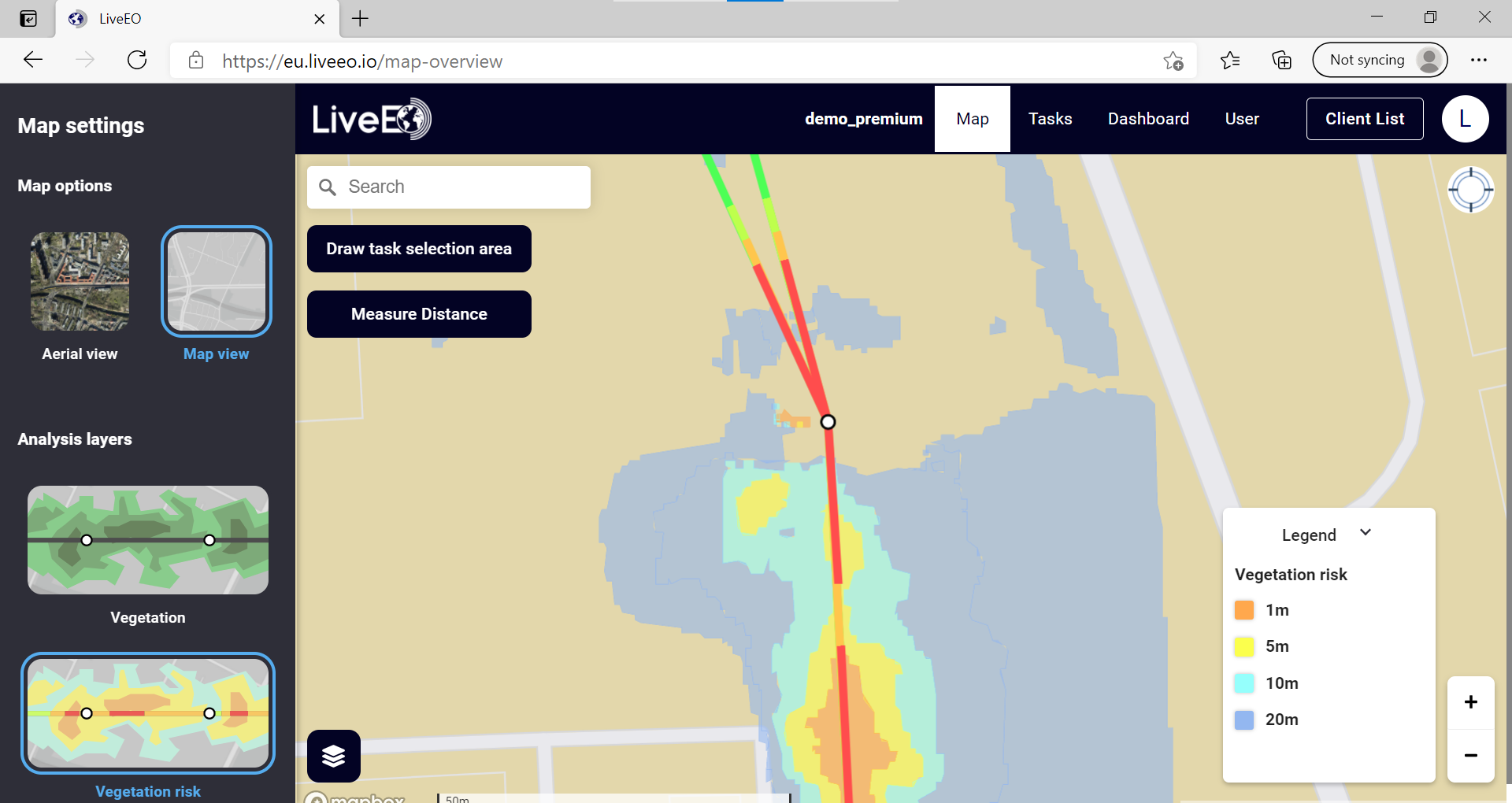
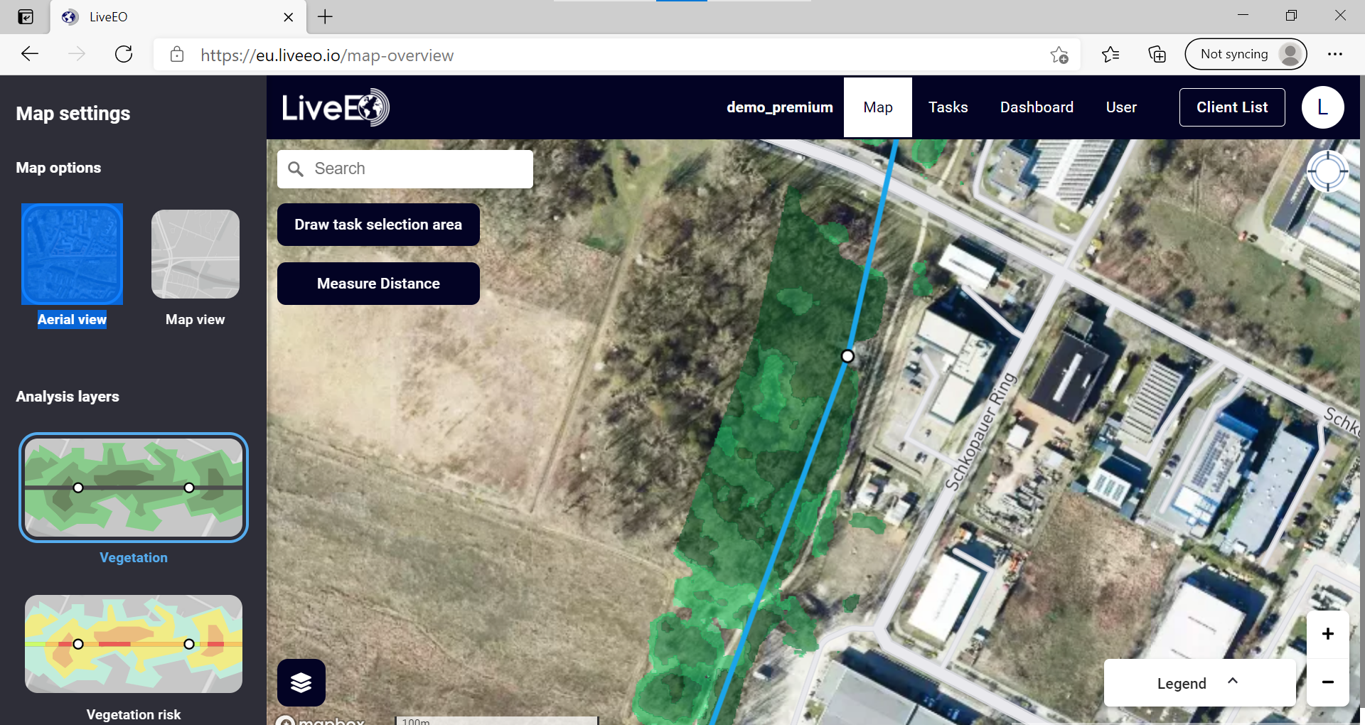
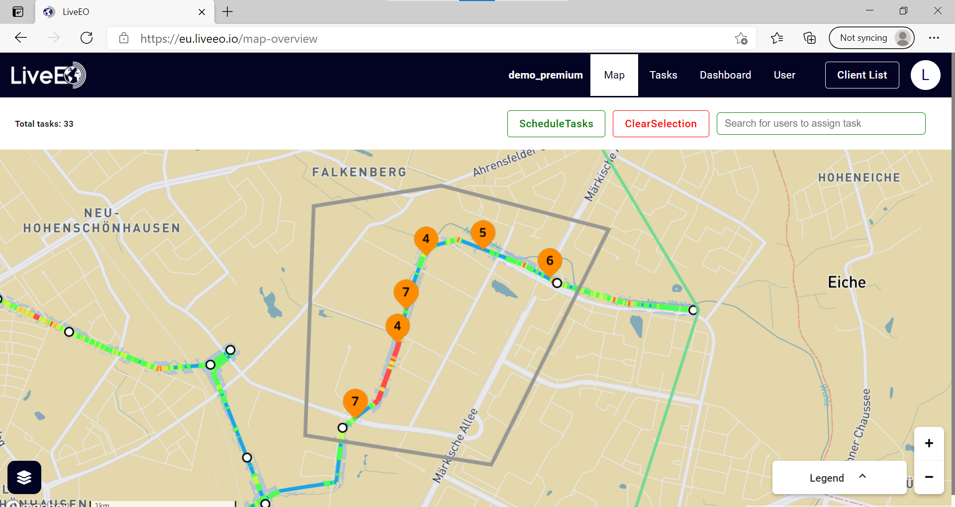
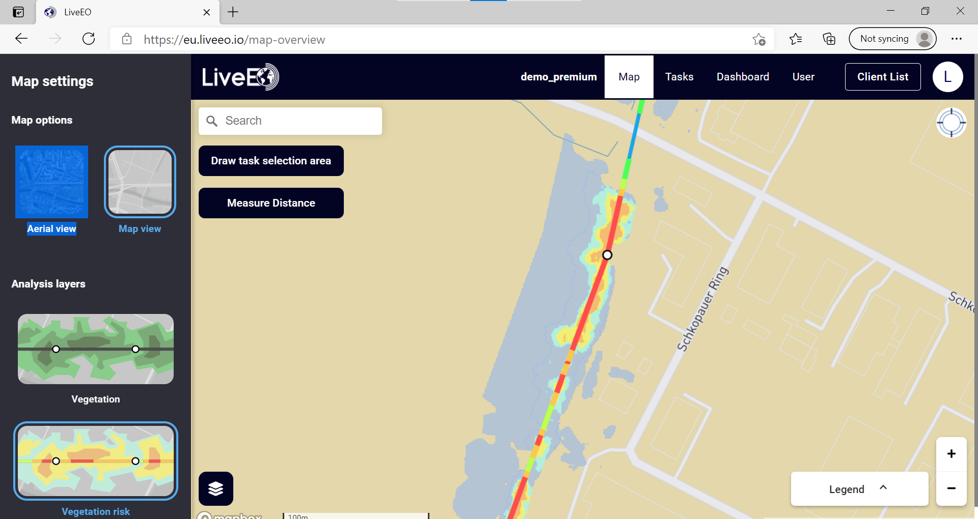
Features
3D Imaging
Color Codes/Icons
Data Import/Export
Data Mapping
Geographic Maps
Route Optimization
FAQ
The official website of LiveEO is http://live-eo.com/
LiveEO belongs to the GIS, Utility Management Systems category.
LiveEO offers features such as 3D Imaging, Color Codes/Icons, Data Import/Export, Data Mapping, Geographic Maps, Route Optimization.
No, LiveEO does not offer a free trial.
Need help choosing this software?
Have questions about features, pricing, integrations, or implementation? Send an enquiry to the vendor and get the information you need.