
MetroMap
MetroMap offers high-resolution aerial imagery and 3D modeling for planning and measurement in various industries.
What is MetroMap?
MetroMap is an aerial imagery and 3D modeling software that provides spatial data for various business applications. The platform features a web-based MapViewer with tools for conducting site inspections, taking measurements, monitoring changes, and accessing historical imagery remotely. MetroMap offers access through both its native interface and APIs for integration with other platforms, allowing users to import imagery into their preferred systems. The software includes land and building information to support planning processes across multiple industries. MetroMap delivers high-resolution aerial imagery that can be used for detailed analysis and decision-making. The platform stores years of historical imagery, enabling users to track changes over time. MetroMap is developed and operated in Australia, with coverage specifically designed for local conditions and requirements.
Screenshots
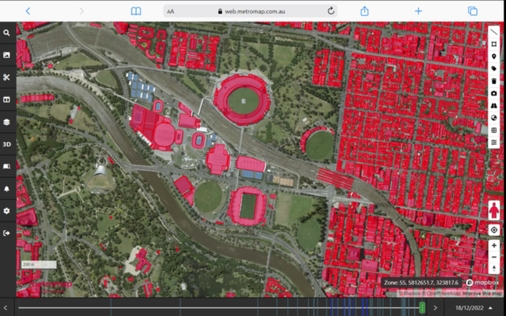
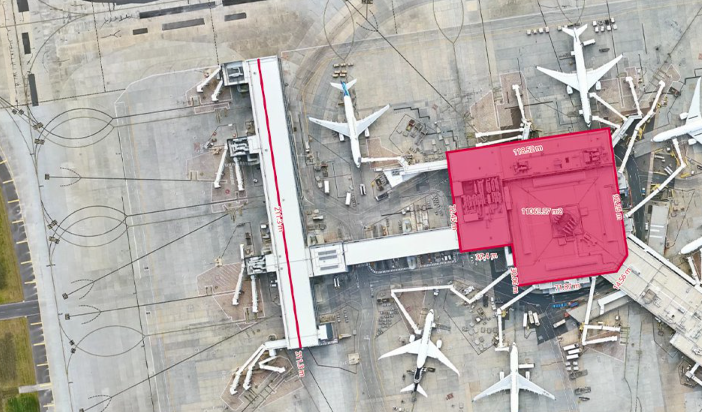
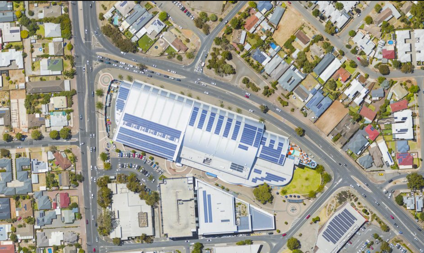
Categories
Features
3D Imaging
Data Import/Export
Geographic Maps
FAQ
The official website of MetroMap is https://metromap.com.au/
MetroMap belongs to the GIS category.
MetroMap offers features such as 3D Imaging, Data Import/Export, Geographic Maps.
No, MetroMap does not offer a free trial.
Need help choosing this software?
Have questions about features, pricing, integrations, or implementation? Send an enquiry to the vendor and get the information you need.
Pricing
Starting at:
$264/per month
Free Trial Available