
PolicyMap
PolicyMap is an easy-to-use online data and mapping tool that lets users solve problems using data about communities across the U.S.
What is PolicyMap?
PolicyMap is an online data and mapping platform that allows users to explore and analyse data about communities across the United States. Founded in Philadelphia, it was originally developed to support community development finance and has since grown into a widely used resource for government agencies, nonprofits, universities, healthcare organisations, financial institutions and researchers. Understanding local conditions often requires combining demographic, economic, housing, health and other datasets from multiple sources, each with different formats and geographies. Assembling this information typically requires GIS skills and considerable time. PolicyMap’s approach is to curate tens of thousands of indicators from public and proprietary sources, standardise them and make them accessible through an intuitive web interface, enabling non-specialists to map, compare and report on community data quickly.
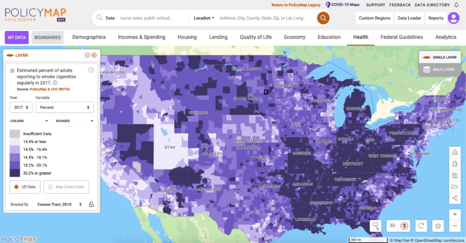
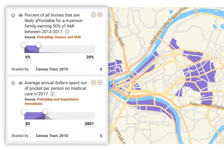
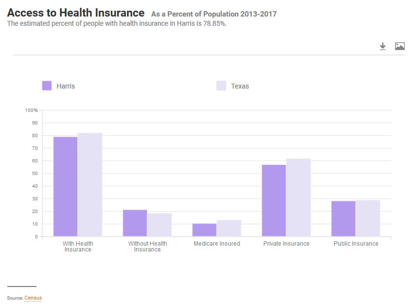
Key features include interactive thematic maps covering topics such as demographics, income, housing, lending, education, health, economy, crime and federal programme eligibility, available at geographies ranging from states and counties to census tracts and block groups. Users can upload their own data, create multi-layer maps, perform radius and custom region analysis, and generate reports and data tables for selected areas. Tools for identifying designated zones, such as Opportunity Zones and areas eligible for community reinvestment, make the platform particularly useful for community development and lending organisations. Maps and reports can be shared, exported and embedded, supporting grant applications, strategic planning and public communication. PolicyMap is delivered as a cloud-based service with different subscription levels, and it offers institutional licences for universities and libraries. Its target users include community development financial institutions, banks, local and federal government agencies, nonprofits, public health departments, academic researchers and journalists. Its breadth of curated indicators saves users considerable time compared with assembling public data manually. Pricing is quote-based and not published in this listing, and no details of a free trial or free version are provided.
Screenshots
Video
Features
FAQ
The official website of PolicyMap is https://www.policymap.com/
PolicyMap belongs to the GIS, Location Intelligence category.
PolicyMap offers features such as 3D Imaging, Data Import/Export, Data Mapping, Geocoding, Geographic Maps, Labeling, Map Sharing, Customizable Reports, Data Visualization, Geotargeting, Third-Party Integrations.
Need help choosing this software?
Have questions about features, pricing, integrations, or implementation? Send an enquiry to the vendor and get the information you need.