
QGIS
Krowdbase ShortlistQGIS is free, open source GIS software that enables users to create, edit, visualize, analyze and publish geospatial data on desktop an
What is QGIS?
QGIS is a free and open-source geographic information system that enables users to create, edit, visualise, analyse and publish geospatial data on desktop, server and web platforms. Developed by a global community of volunteers and supported by the QGIS.org association, it has become one of the most widely used GIS applications in the world and a credible alternative to commercial products such as Esri ArcGIS. Organisations of all kinds need to work with spatial data, yet proprietary GIS software can be costly, particularly for smaller agencies, nonprofits, educational institutions and organisations in developing regions. QGIS addresses this by offering a comprehensive, professional-grade toolset without licence fees, built on open standards and designed to interoperate with a wide variety of data formats and services.
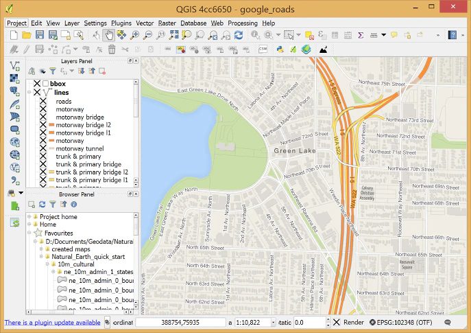
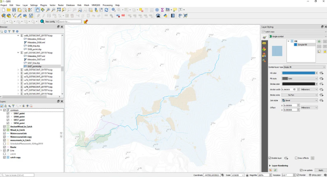
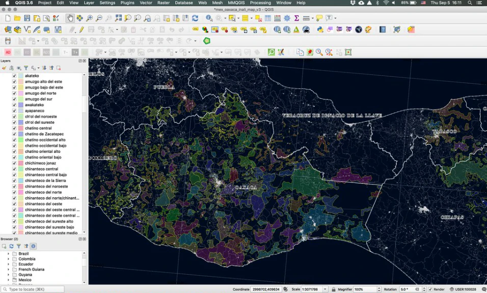
Key capabilities include support for vector, raster and mesh data in numerous formats, including shapefiles, GeoPackage, PostGIS, GeoTIFF and web services such as WMS, WFS and WMTS. Users can digitise and edit features, perform spatial analysis and geoprocessing through the Processing Toolbox, which integrates algorithms from GDAL, GRASS GIS and SAGA, and produce high-quality cartographic outputs with the print layout designer. Python scripting and a large plug-in ecosystem allow users to automate workflows and extend functionality for specialised domains such as hydrology, transport and remote sensing. QGIS Server publishes projects as standards-compliant web services, and companion tools support web mapping and mobile field data collection. The desktop application runs on Windows, macOS, Linux and other platforms, with regular releases and long-term support versions. Its users span national and local governments, environmental agencies, utilities, universities, consultancies, humanitarian organisations and individual analysts worldwide. Professional support is available from commercial service providers. The software itself is free and open source; this listing records a starting price of USD 0 with a free trial and does not flag a separate free edition.
Screenshots
Categories
Features
FAQ
The official website of QGIS is https://qgis.org/en/site/
QGIS belongs to the GIS category.
QGIS offers features such as Color Codes/Icons, Data Import/Export, Data Mapping, Geocoding, Geographic Maps, Labeling.
Yes, QGIS offers a free trial.
Need help choosing this software?
Have questions about features, pricing, integrations, or implementation? Send an enquiry to the vendor and get the information you need.