SAGA
SAGA is a free geographic information system with an automatic analysis function for various raster and vector data.
What is SAGA?
SAGA is a geographic information system which focuses on physical geography. The software evaluates raster and vector data, for example, to examine rock layers or water deposits, and provides automatic functions for such tasks. SAGA is open source software which is available free of charge. It runs on Windows, Linux, BSD Unix and has also been installed on MacOS. SAGA can be expanded by external programs via an API and can be controlled by scripts.
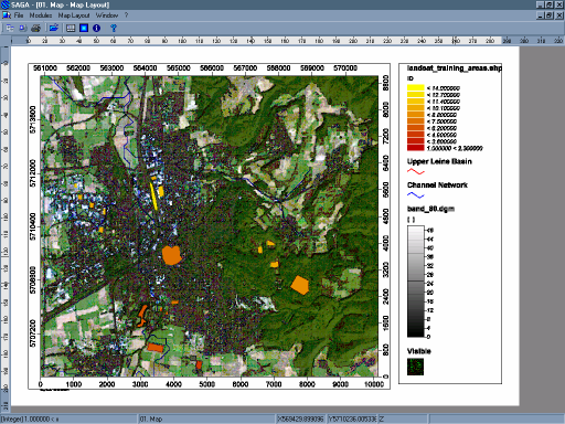
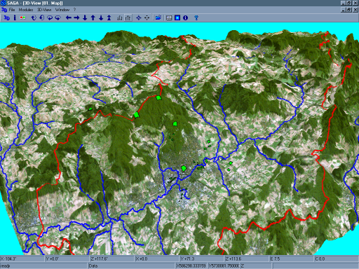
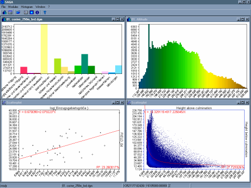
Screenshots
Categories
Features
3D Imaging
Color Codes/Icons
Data Import/Export
Data Mapping
Geocoding
Geographic Maps
Labeling
Map Sharing
FAQ
SAGA belongs to the GIS category.
SAGA offers features such as 3D Imaging, Color Codes/Icons, Data Import/Export, Data Mapping, Geocoding, Geographic Maps, Labeling, Map Sharing.
No, SAGA does not offer a free trial.
Need help choosing this software?
Have questions about features, pricing, integrations, or implementation? Send an enquiry to the vendor and get the information you need.